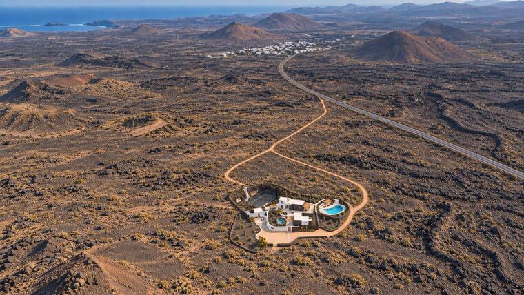
A method for buying difficult buildings in difficult places: a drone survey flown by whoever is already going to the site, a centimetre-accurate digital twin built in Latvia, and the architectural concept dropped into it to see whether it actually fits. Days, not an expedition. Calibrated on Finca del Fuego.

On rural heritage land the pre-existing building is the licence. Its walls, its footprint, its standing tower and the fall of the ground under it are what decide how many keys the site can hold and whether consent is arguable at all. And they are exactly the things an offer gets made without.
What a buyer normally has is an agent's floor area, a set of photographs taken from the good side, and a cadastral outline drawn before the roof fell in. What a buyer needs is wall thickness, surviving height, terrain fall across the plot, the volume of rock that has to come out, and a yes or no on whether the intended massing fits inside the envelope the rules allow. None of that arrives until somebody spends money — a local surveying expedition, mobilised, quoted and scheduled, on a property that is not yours and may never be.
So the decision gets made twice. Once on a feeling, to secure the property. Then again, months later and far more expensively, when the measurements finally contradict the feeling. The second decision is the one that kills projects.


The survey instruction and the processing are remote. The capture is half a morning with a consumer drone, flown by the developer, the agent, or anyone already standing on the plot. Nobody mobilises. Nothing is booked. The expensive part of a site visit — getting a qualified person to a remote property — is removed from the front of the process and kept for the end, when the site is worth it.
Geo Development issues the capture spec for this plot: flight lines, altitude, overlap, oblique passes, where the ground targets go.
Whoever is on site flies it. Sub-250 g class, two batteries, one low-sun morning. The images and the flight log go back.
The images become a georeferenced point cloud and mesh. The ruin is frozen: wall thicknesses, surviving heights, terrain, in centimetres.
The architectural massing is read out of the concept visualisations and set into the cloud. Clash, envelope, cut and fill — all answered on real geometry.
The difference between a cloud you can build on and a cloud you cannot is entirely in the capture. Anyone can fly a ruin; the pattern, the overlap and the targets are what turn the images into geometry with a stated accuracy — and those are decided in advance by the people who have to process the result.
This is the step that is new. The concept already exists as visualisations; the massing is read out of them, rebuilt as volumes and set into the surveyed cloud at true scale. From that moment the argument stops being about taste. It is about whether a solid fits inside another solid.
The same operation produces the three answers a planning file needs: what the new volume does to the surviving walls, whether it breaks the height and setback envelope, and how much material has to be moved. On a scheme that goes underground, the third is the expensive one.


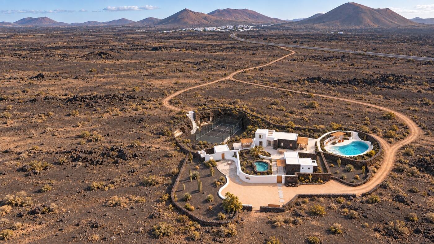
The concept and the survey in one frame — the drawing dissolves into what it becomes
An architecture practice with no survey capability produces beautiful unverifiable drawings. A survey company with no architecture produces a point cloud nobody knows what to do with. The value is in the join, and the join is the reason this is a partnership rather than a subcontract.
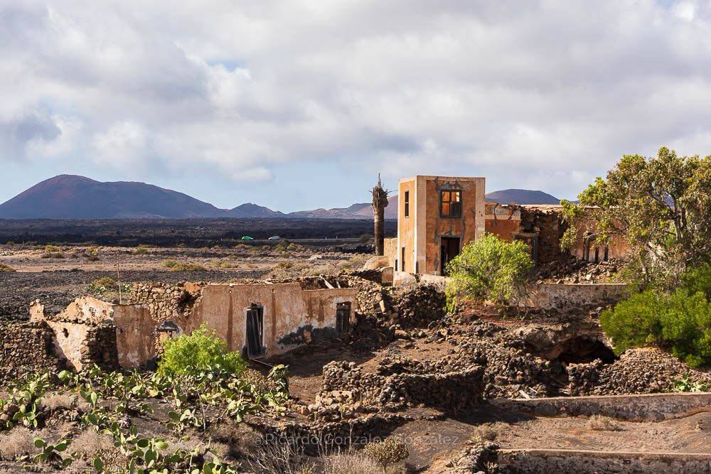
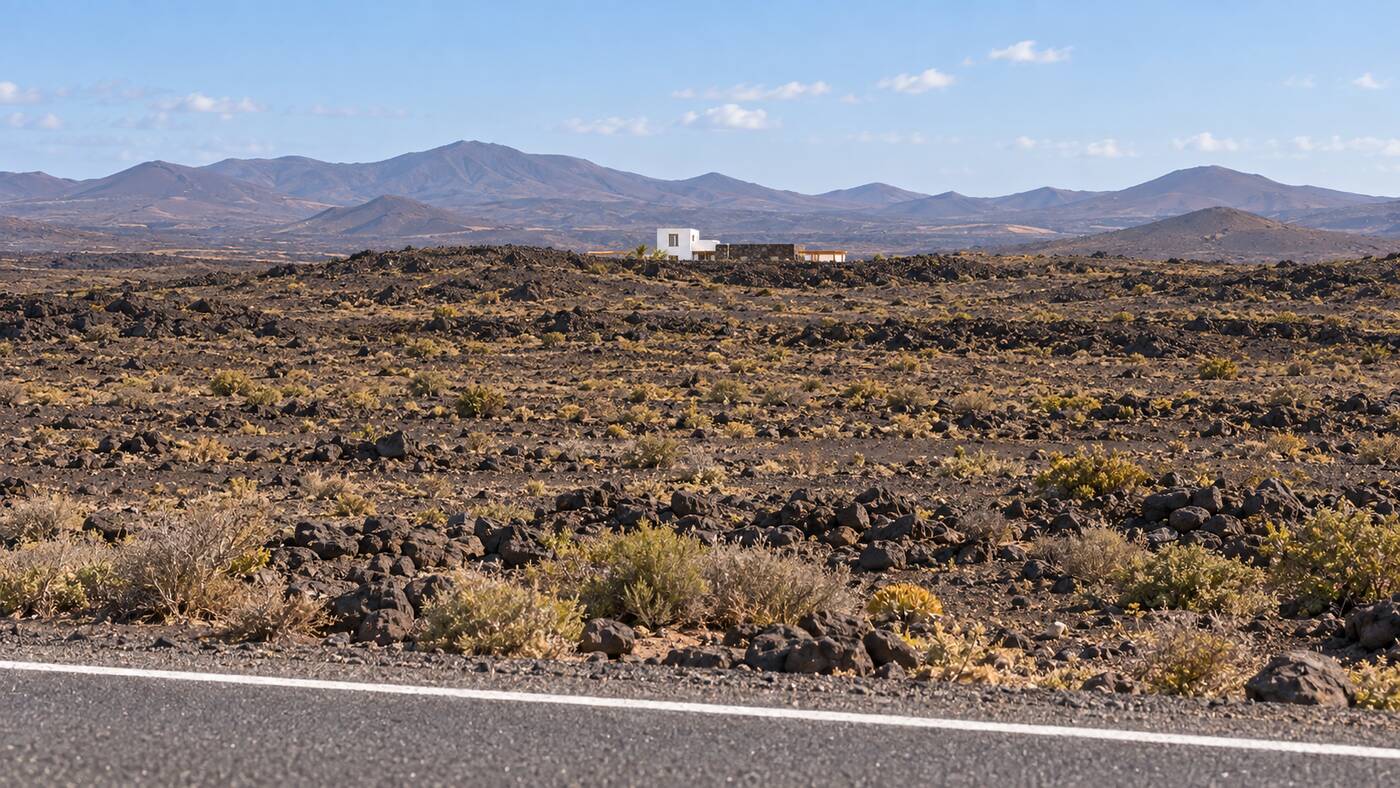
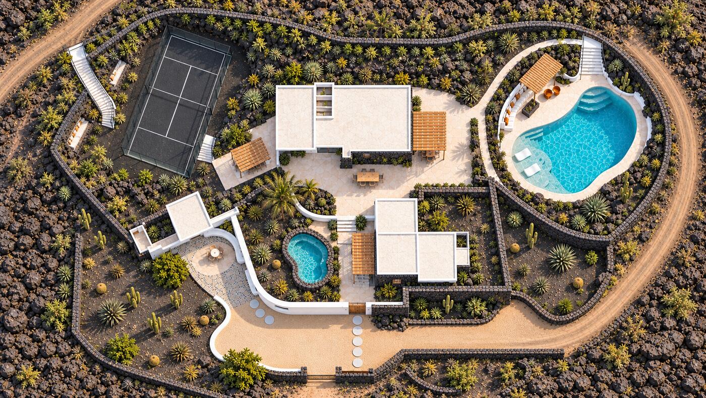
A half-collapsed traditional finca in the malpaís below Timanfaya, inside some of the strictest building and heritage constraints in Europe. The old tower stays. The lava-stone corral walls stay. And the programme that makes the estate work — a court and a pool — has to go into the ground rather than onto it.
That is the hard case on purpose. A scheme that only adds volume above ground can be argued from a drawing. A scheme that excavates has to prove volumes, and a scheme in a protected landscape has to prove invisibility. Both are measurement problems before they are design problems.
A two-storey lime-rendered tower still standing, and dry-stone corrals half-swallowed by the lava field. The pre-existing building is the planning argument.
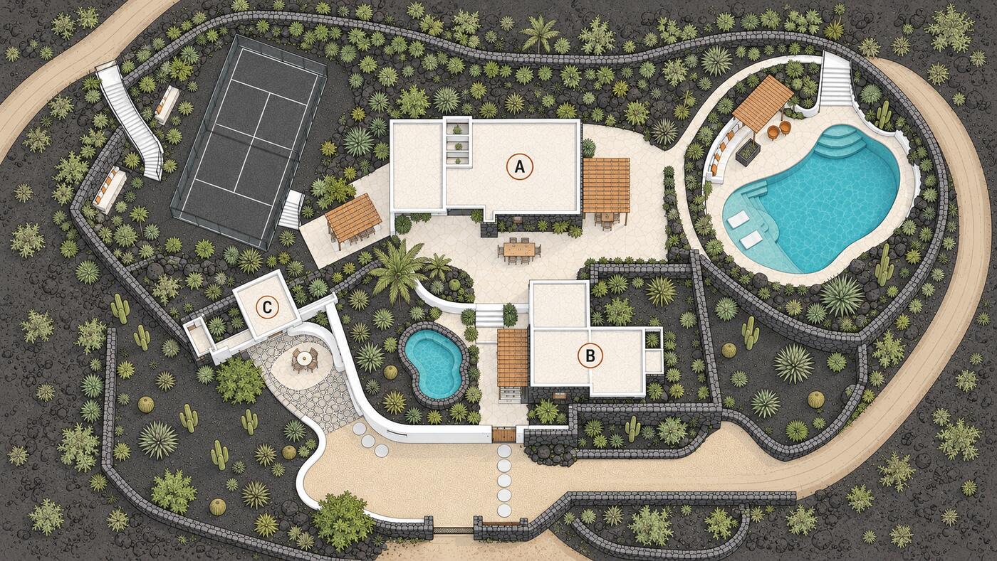
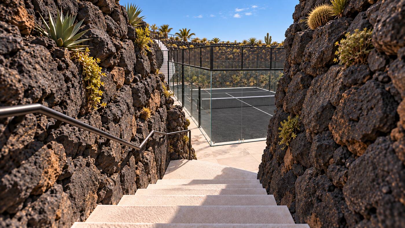
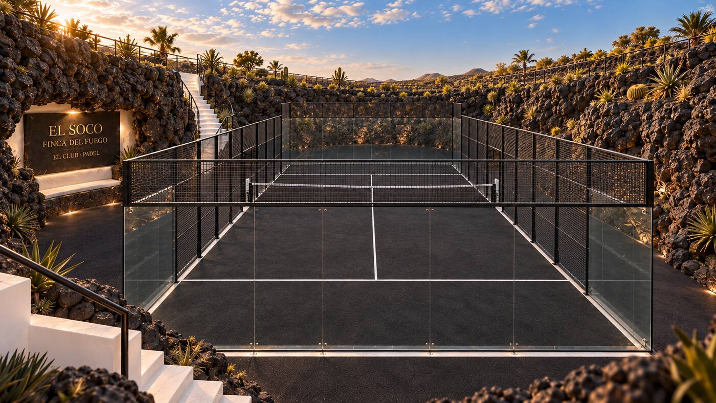
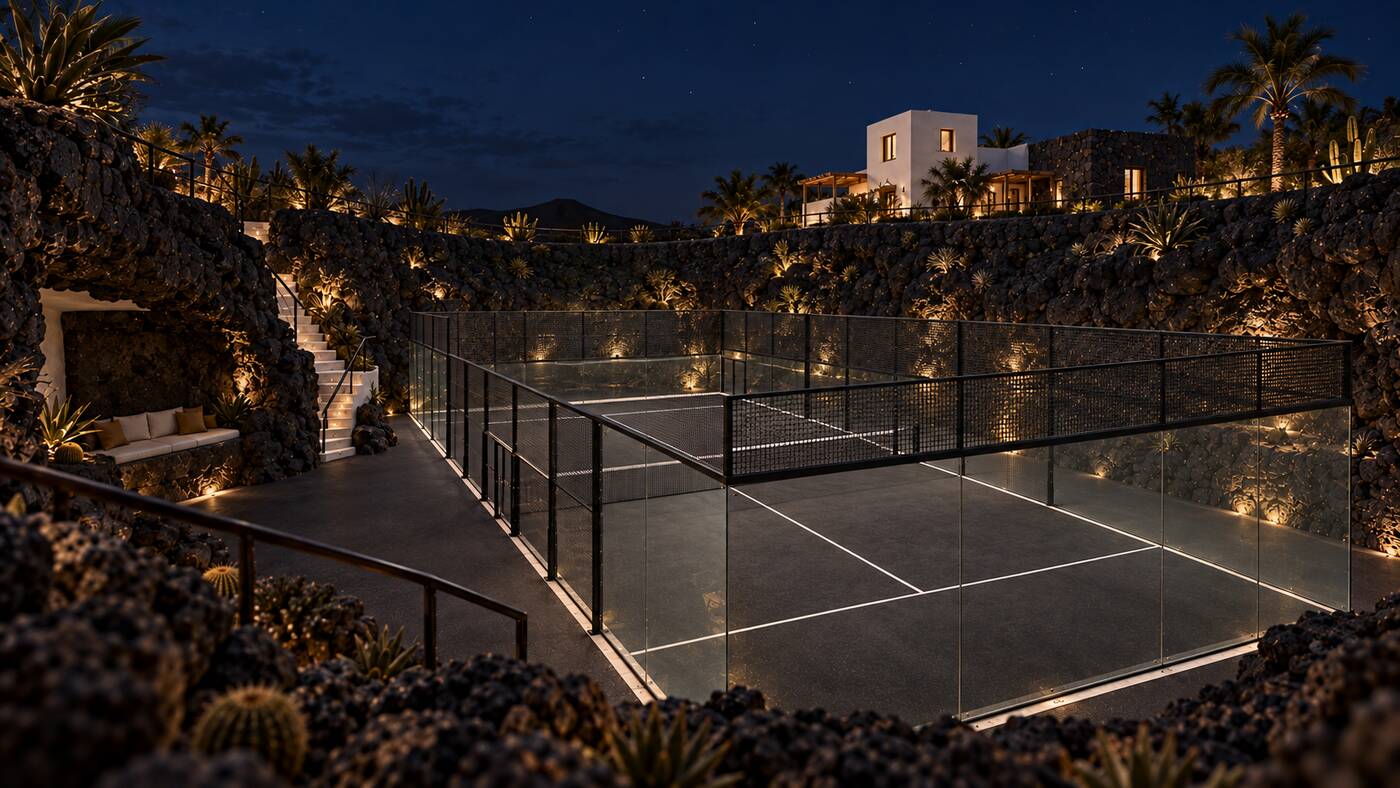
Court enclosure limited to glass and stone at low height, the slab dropped below grade, so no fence silhouette breaks the landscape from any public view.
A sunken court and an organic cave-form pool. Large excavation volumes in lapilli and basalt, to be balanced on site rather than carted away.
Ground conditions and water handling on an island with no natural groundwater. Terrain model feeds the drainage and the cistern argument.
The method is only worth selling if it is repeatable by people who are not us. This is the whole apparatus, stated plainly — what exists today, and what still has to be put in place before a second site can be run without improvising.
Under the 250 g threshold the EU open category A1 applies: registration, but no operator licence and no distance-from-people regime that a developer cannot satisfy. That single fact is what lets the client fly their own site. A 20 MP class sensor and a mechanical or good rolling shutter is the floor for usable photogrammetry.
Five printed targets and a GNSS fix on each, or an RTK airframe, is the difference between a model that is internally consistent and one that is correctly positioned on the earth. Absolute accuracy matters the moment the output touches a boundary, a setback or a cadastral line.
Per-country registration and a pre-checked flight plan. On Lanzarote this is not a formality: Timanfaya is a national park with its own restrictions, and protected-landscape rules reach beyond the park boundary. The clearance question is answered before the capture spec is issued, not on the plot.
Imagery to dense cloud to mesh to .obj, with orthophoto, surface and terrain models, and a written accuracy statement attached to every delivery. This is the partner's discipline, and the reason the output is defensible rather than decorative.
Reading the intended volumes out of the concept visualisations and rebuilding them as a clean solid model at true scale. Assisted, not automatic: the model is the architect's, and every dimension in it is a decision somebody has to own.
Clash against the surviving fabric, envelope test against the local height and setback rules, cut-and-fill volumes with a spoil balance, and the visual overlay for the municipality. Output is a fixed report set, so two sites can be compared.
It is not a cadastral or legal survey, it does not certify boundaries, it is not a structural assessment of what is standing, and it says nothing about what is under the surface. A geotechnical investigation and a licensed local surveyor are still required — later, on the sites that earn them. Saying so is the point: the method decides which sites earn them.
Three failure modes matter. Two are technical and have known answers. The third is commercial and is the one to watch.
Wrong overlap, high sun, a missed orbit, or wind. The person flying is not a surveyor, and there is no second chance without a second trip.
A cloud looks precise whether or not it is. Presenting an uncontrolled model against a legal boundary is how a method loses its credibility in one meeting.
The output is most valuable exactly at the moment the buyer decides not to proceed — and a walked deal is a client who feels they paid for a "no".
Finca del Fuego proves the method works once. These are the things that have to exist before it works the second time without either of us improvising.
One page a non-surveyor can follow, with the checklist, the sample frames and the re-fly rule.
Cloud, mesh, orthophoto, terrain model, sections, volume report, fit report. Named, templated, comparable between sites.
Targets placed and fixed on the calibration flight, so the case study carries an absolute accuracy figure rather than a relative one.
Who sells, who delivers, how the fee splits, and who carries the accuracy statement.
The method is not proven on the site it was designed around. The next one has to be somebody else's.